Build Your Optical Earth Observation Satellite
Custom Satellites for Earth Observation & Remote Sensing Missions
Good enough isn’t good enough. To gain an edge on the competition, you need high pointing accuracy and stability for sophisticated passive and active EO instruments. Comprehensive and up-to-date information on the Earth's conditions means actionable insights to capitalize on your business case.
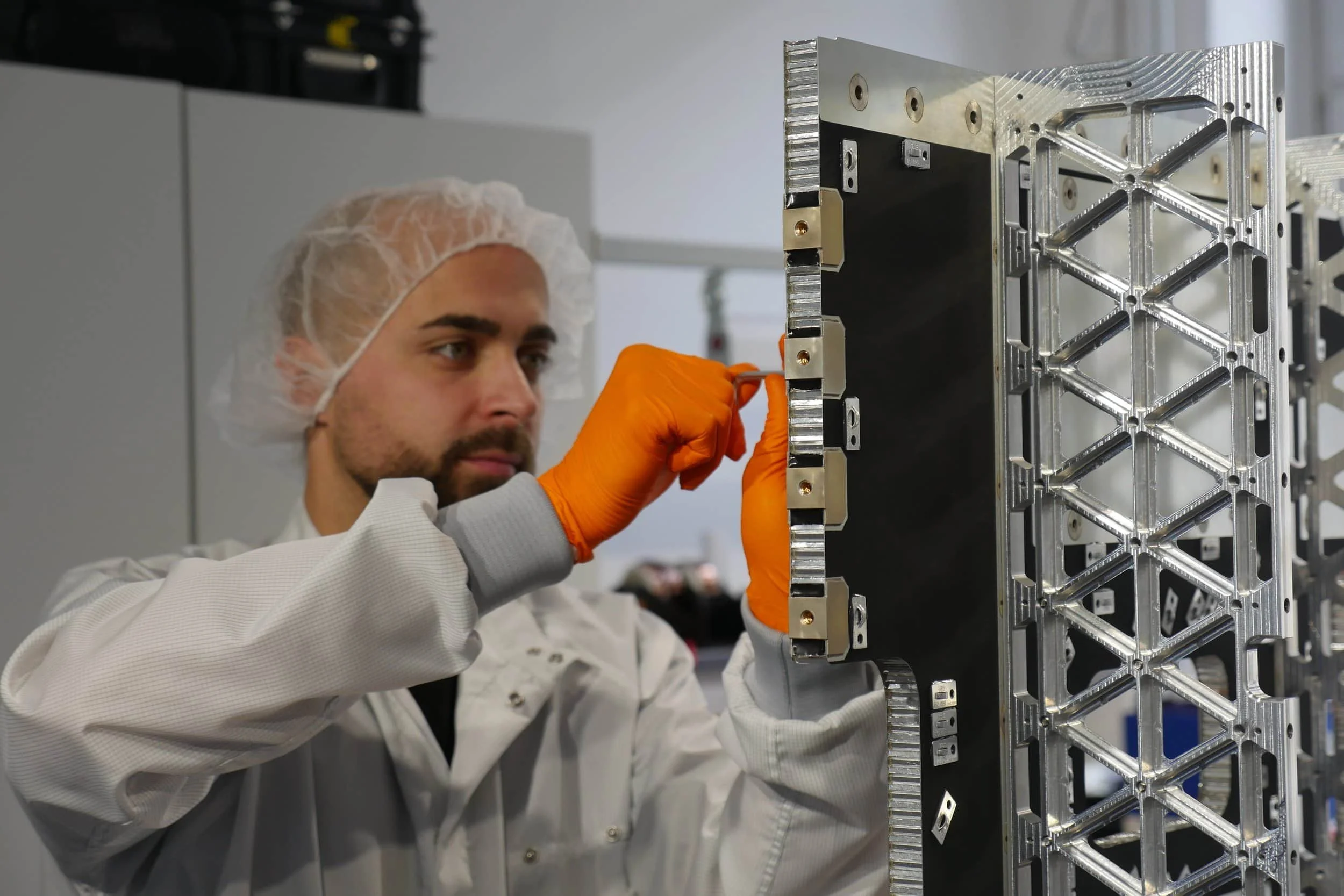
Precision Optical Payload Integration for High-Resolution Imaging
The OmniFlex
OUR BASELINE CONFIGURATION
The OmniFlex is our starting point for all of our customized satellite configurations. We craft high-performance satellite platforms, each one tailor-made, each one a testament to our commitment to innovation.
-
Remote Sensing
Satellite Communications
LEO PNT
Space Tug
Custom configurations.
-
Payload-agnostic baseline configuration for single or multi-payload missions
-
Extended design lifetime
More payload volume & mass up to 250kg
Power into kW range
Tailored thrust & delta-v levels
Space2Space Data Links
The OmniFlex UltraSharp
HIGH RESOLUTION EO CONFIGURATION
Reflex’s High-Precision (OmniFlex HiPr) platform in combination with an outstanding VIS-NIR payload are developed to enable your very high-resolution (VHR) Earth observation applications.
-
2D and Stereo Imaging
Infrastructure Monitoring
Change Detection
Border Surveillance
Target Detection
Disaster Detection and Management
-
Faster revisit time for single satellite or constellation roll-out
-
Extended design lifetime
Extended on-board data storage
Adapted GSD & swath width
Optional secondary payloads for extended missions
Tailored thrust & delta-v levels
Scalable power system
High-throughput Ka/Ku or optical data links
The OmniFlex DataSphere
A CUSTOMIZABLE MULTIPURPOSE CONSTELLATION
A cutting-edge configuration meant for multi-payload satellite constellations means precise object identification and status assessments across land and sea, supporting civil, governmental, and military applications.
-
Environmental monitoring and climate adaptation
Disaster management
Maritime monitoring and border control
Agriculture and Forestry
Intelligence, Surveillance,
Reconnaissance
Infrastructure monitoring
-
A scalable configuration designed with data fusion capability between optical sensors and AIS/IoT payload to extract additional insights
-
Extended design lifetime
Extended on-board data storage
Scalability of constellation
Swap and adapt payloads
Add IOT or AIS payloads
Adapted propulsion
Scalable power system
High-throughput Ka/Ku or optical data links
The OmniFlex HiPr
HIGH PRECISION
Don’t compromise on your mission. Unleash the full potential of your payload by providing it with the volume, power, and performance to generate the highest quality data for your use case.
-
Imaging over the entire spectrum, from Visual (VIS) to Infrared (Near-, Short Wave-, Thermal-IR)
LiDAR
Synthetic Aperture Radar (SAR)
Optical Data Links (Laser Com)
-
A foundation to deploy exotic instruments for the most demanding tasks such as high-resolution atmospheric and ground measurements
-
Extended design lifetime to 7+ years
Upgraded power into kW range
Tailored thrust & delta-v levels
Utilize Optical Data Links (Space2Space) and/or high-throughput X/Ka/Ku-Band RF.
Optical Earth Observation Satellites

What Are Optical Earth Observation Satellites?
Optical Earth observation satellites use visible and near-infrared light to capture detailed images of the Earth's surface. They provide natural-color imagery similar to what the human eye sees, enabling accurate visual analysis of terrain, vegetation, water bodies, and urban areas. However, the largest flaw in an optical earth observation satellite is that it is limited by weather. If you are looking for imagery that shows you the real world view, then an Optical EO satellite is for you. But if you need to see imagery in all weather conditions, day or night, consider a radar satellite or SAR.

Why Optical Imaging Matters
High Spatial Resolution: Detect fine surface details for better decision-making when utilizing your data.
Daylight Clarity: Capture true-color photos showing earth changes under daylight conditions.
Actionable Data: Support mapping, monitoring, and mission planning.
Commercial & Government Use: A medium that is trusted by government agencies and corporations worldwide.
Tailored to Your Mission
At Reflex Aerospace, we design and build custom optical satellite platforms that meet your specific observation goals. Whether you need real-time imaging, rapid revisit rates, or secure data handling, we optimize performance to your requirements.
Applications Include:
Environmental monitoring and climate adaptation
Disaster management
Maritime monitoring and border control
Agriculture and Forestry
Intelligence, Surveillance, Reconnaissance
Infrastructure monitoring